
- Burger Junior High School
- Unit Resources
- Unit 5: Mapping the Earth
White, Christopher
Page Navigation
- Earth Science Home Page
-
Unit Resources
-
Unit 1: Astronomy
- Eclipse Interactive
- Video - Formation of the Solar System
- Another 3D Solar System
- A Bunch of Good Astronomy Interactives
- Future Eclipses
- Lunar Eclipse Timelapse
- Astronomy Interactive Review
- Earth, Moon and Sun Interactive Review
- Solar System Simulations
- Astronomy Science Trivia
- 3-D Solar System
- 100,000 Stars - A view of nearby stars!
- The Scale of the Universe
- Moon Phase Interactive
- 3-D Model of the Galaxy
- Astronomy Unit Test 1 Review
- Astronomy Unit Test 2 Review
- Unit 2: Climate, Insolation, and Seasons
- Unit 3: Weather
- Unit 4: Rocks and Minerals
- Unit 5: Weathering, Water, and Soil
-
Unit 5: Erosion, Depostion, and Landscapes
- Review Video Selections - Rivers
- Watersheds of the Genesee Region
- Erosion Part 2 Notes
- Erosion Part 2 Practice Questions
- Lab - Examining Landscapes Produced By Glaciers
- Glaciers Interactive
- LAB - Landscapes from Coast to Coast
- REVIEW VIDEO - Landscapes
- GOOGLE EARTH - Viewing Erosion and Deposition
- Erosion Practice with Explanations
- Global Ice Viewer
- EROSION AND DEPOSITION LAB ANIMATIONS
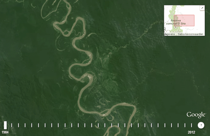
- Meandering River GIF
- Virtual River
- Erosion and Deposition Test Review
- Unit 5: Mapping the Earth
-
Unit 6: Plate Tectonics
- The Development of Plate Tectonics
- Google Earth - Plate Tectonics
- Plate Tectonics Review Videos
- Plate Tectonics Vids
- Interactive Plate Tectonics Review
- Interactive Plate Tectonics Review 2
- Plate Tectonics Animations
- Lab - Sumatra Earthquake and Tsunami
- Virtual Earthquake Enrichment
- Plate Tectonics Test Review
-
Unit 7: Earth's History
- Ancient Life Games
- How To - Carbon Dating
- Virtual Radiocarbon Dating
- Radioactive Dating Games
- Radioactive Dating Enrichment
- Extenstion - Interactive Timeline
- Links
- Earth's History Review Questions
- Earth's History Review Videos
- Other Cool Earth's History Presentations
- 25 Biggest Turning Points in Earth's History
- Visible Geology
- The Scale of Things...
- INVESTIGATION - What Stories Do Rocks Tell?
- Stratigraphy Games
- Rock Correlation Games
-
Unit 1: Astronomy
- Earth Science Review Videos
- Earth Science Review Links
- Study Strategies
- EPOD
- APOD
- Other Earth Science Links

Mapping the Earth
-
Things you should UNDERSTAND, KNOW, and be able to DO...Understand:• maps can be used to gain various kinds of information• the 3-dimensional world is typically represented on 2-dimensional mapsKnow:• the Earth’s shape is an oblate spheroid• lines connecting points of equal values on a map help us represent the 3-dimensional world• the space between isolines represents a fixed value• topographic maps represent landforms through the use of contour lines that are isolines connecting points of equal elevation.• gradients and profiles can be determined from changes in elevation over a given distance.• Earth’s coordinate system of latitude and longitude, with the equator and prime meridian as reference lines, is based upon Earth’s rotation and our observation of the Sun and stars.• the altitude of Polaris depends on the latitude of the observer• Earth rotates at 15 degrees per hour. Meridians of longitude are the basis for time zones.Terms: axis, troposphere, lithosphere, hydrosphere, known elevation, contour interval, contour line, depression line, elevation, equator, gradient, oblate spheroid, isoline, field value, latitude, longitude, Polaris, pole, Prime Meridian, profile, time zone, topographicDo:• use Earth Science Reference Tables (ESRT) to gain information• describe the composition of the Earth’s crust, hydrosphere and troposphere using the ESRT• determine direction using a compass rose• use data to draw isolines• use a scale on a map to determine distance• construct and interpret a topographic profile• determine values of and between isolines• calculate gradient using a topographic map and/or field values• determine the direction of stream flow from a topographic map• estimate maximum and minimum values on an isomap• interpret and label depression contours (hatchure lines)• determine the latitude and longitude of a given point to the nearest degree• calculate local time based on longitude• determine latitude by use of the star Polaris• determine the angle from horizon to Polaris using an astrolabe and relates this to latitude